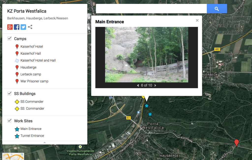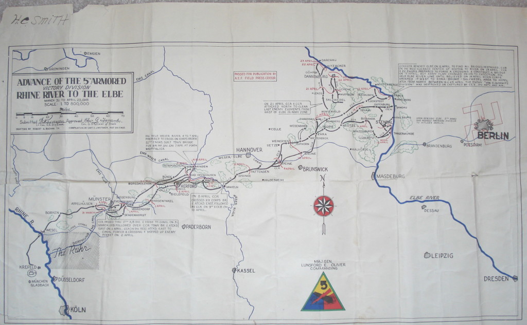
I was looking through some after action reports from the U.S. military groups that entered the Minden, Porta Westfalica area in early April 1945. The reports come from 5ad.org, an unofficial site dedicated to the 5th Armored Division in WW2, and the Combined Arms Research Digital Library (http://cgsc.contentdm.oclc.org/cdm/landingpage/collection/p4013coll8). The best find so far was the map showing the path of the 5th Armored Division as they swept through Germany.
I was hoping to get information about the discovery of the underground factories, but the detail, so far, has been at a much higher level… this company moved here at this hour, and this company here, etc.
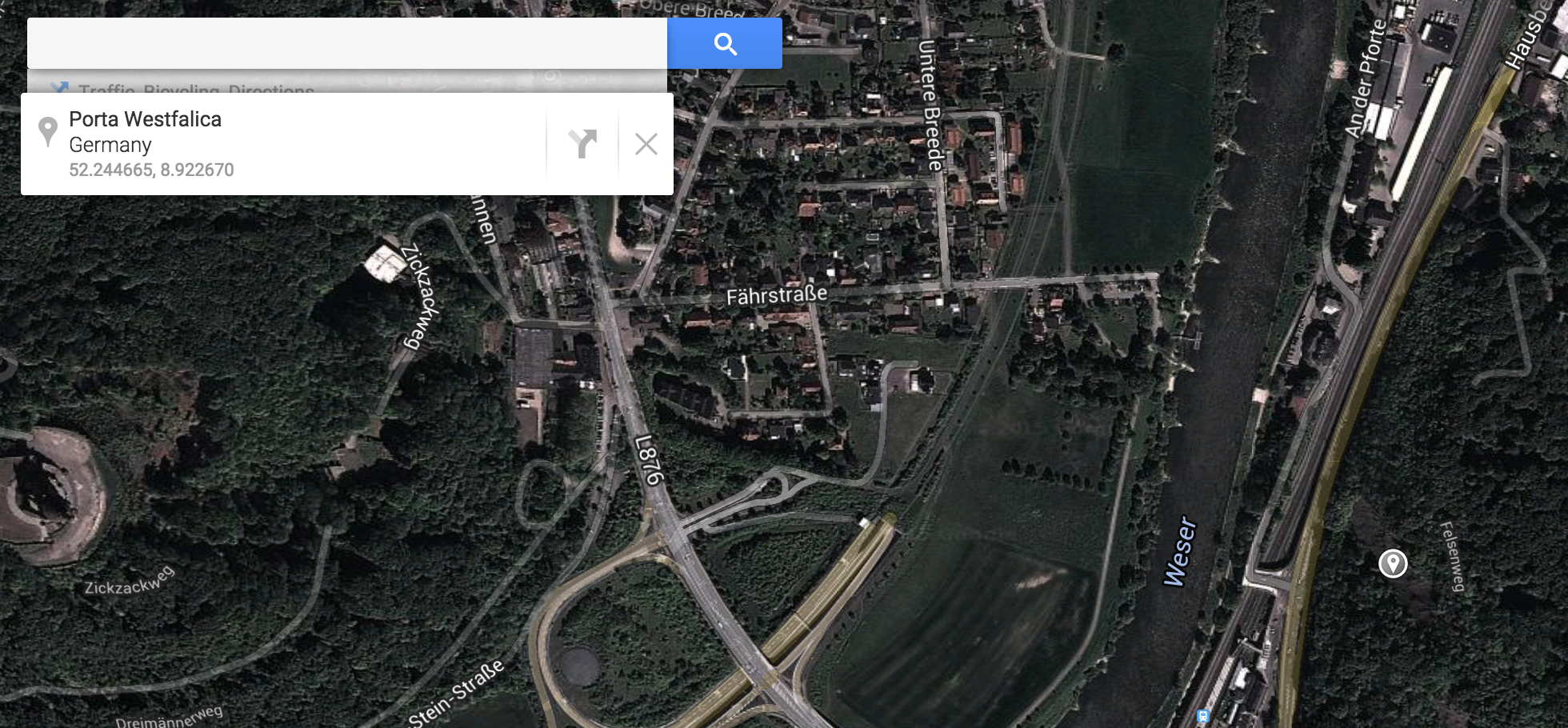
It was interesting to mentally plot the course of these military groups as they approached and left the area I was interested in. For the most part, I could just type the town’s name into Google Maps to pull up the location, but I noticed what seemed like coordinates listed sometimes as well.
That got me curious to see if there was a way to locate these coordinate points. I searched Google for “ww2 german map coordinates” which led me to this post (http://forum.axishistory.com/viewtopic.php?t=158724) at the the forums at axishistory.com, which led me to this site (http://www.echodelta.net/mbs/eng-welcome.php) that converts old ww2 coordinates to locations in Google Maps.
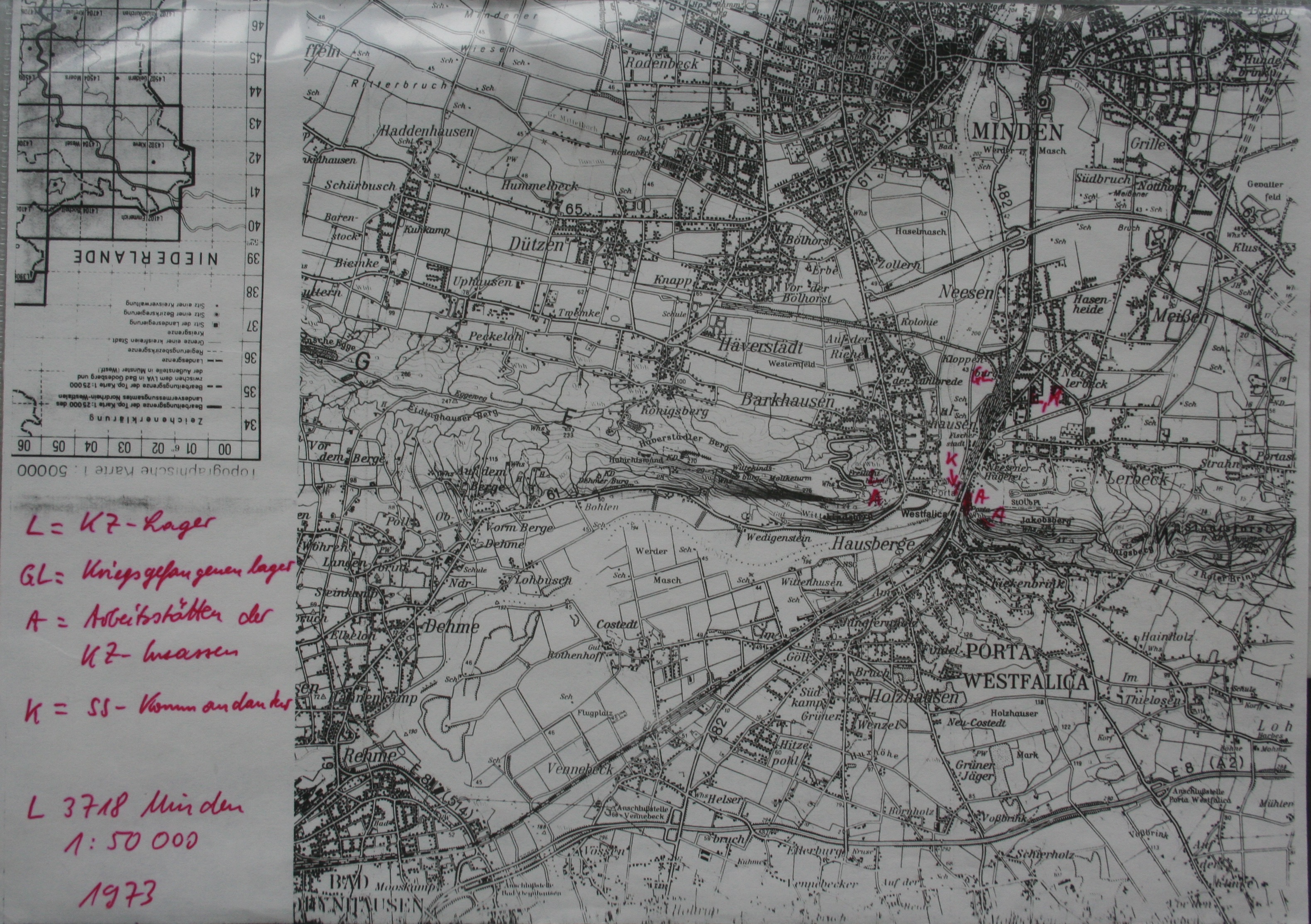
The system in use at the time uses a grid over northern Europe with a letter pair to distinguish each grid square. Within that square, a set of numbers determine the kilometers on the x and y axis to travel to reach the correct point. I had to guess which grid was used, since the coordinates were just numbers. It worked out well.